Noah Hartmann · 17 October 2026
Sardinian Shepherds Integrate Satellite Mapping to Revive Ancient Transhumance Paths
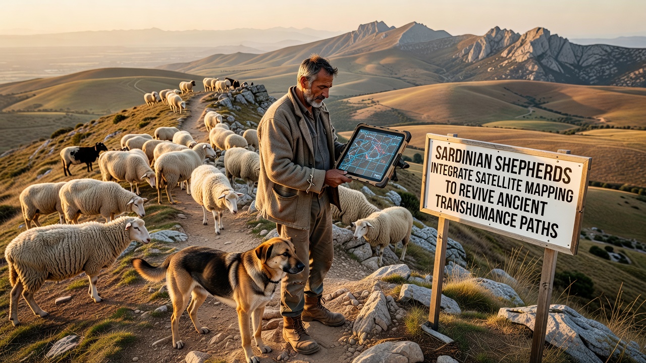
Sardinian shepherds have started using satellite mapping tools to identify and restore ancient transhumance paths that once connected highland pastures with lowland grazing areas during seasonal migrations, and these efforts draw on historical records combined with modern geospatial data to recreate routes that fell into disuse over the past several decades. Transhumance in Sardinia dates back thousands of years with evidence from archaeological sites showing livestock movement patterns tied to the island's Mediterranean climate and terrain variations, while recent projects apply GIS overlays to old maps and oral histories to pinpoint corridors that remain viable for herding today.
Historical Context of Transhumance in Sardinia
Traditional routes spanned from the Gennargentu mountains down to coastal plains and involved thousands of sheep and goats each spring and autumn, yet many paths disappeared after mid-20th century land reforms and road construction altered the landscape according to records from the Sardinian regional archives. Researchers at the University of Sassari have documented how these corridors supported biodiversity by preventing overgrazing in single areas and maintaining soil health through rotational use, and satellite imagery now helps verify which segments still feature intact vegetation corridors or natural water points that herders relied upon historically.
Adoption of Satellite Technologies
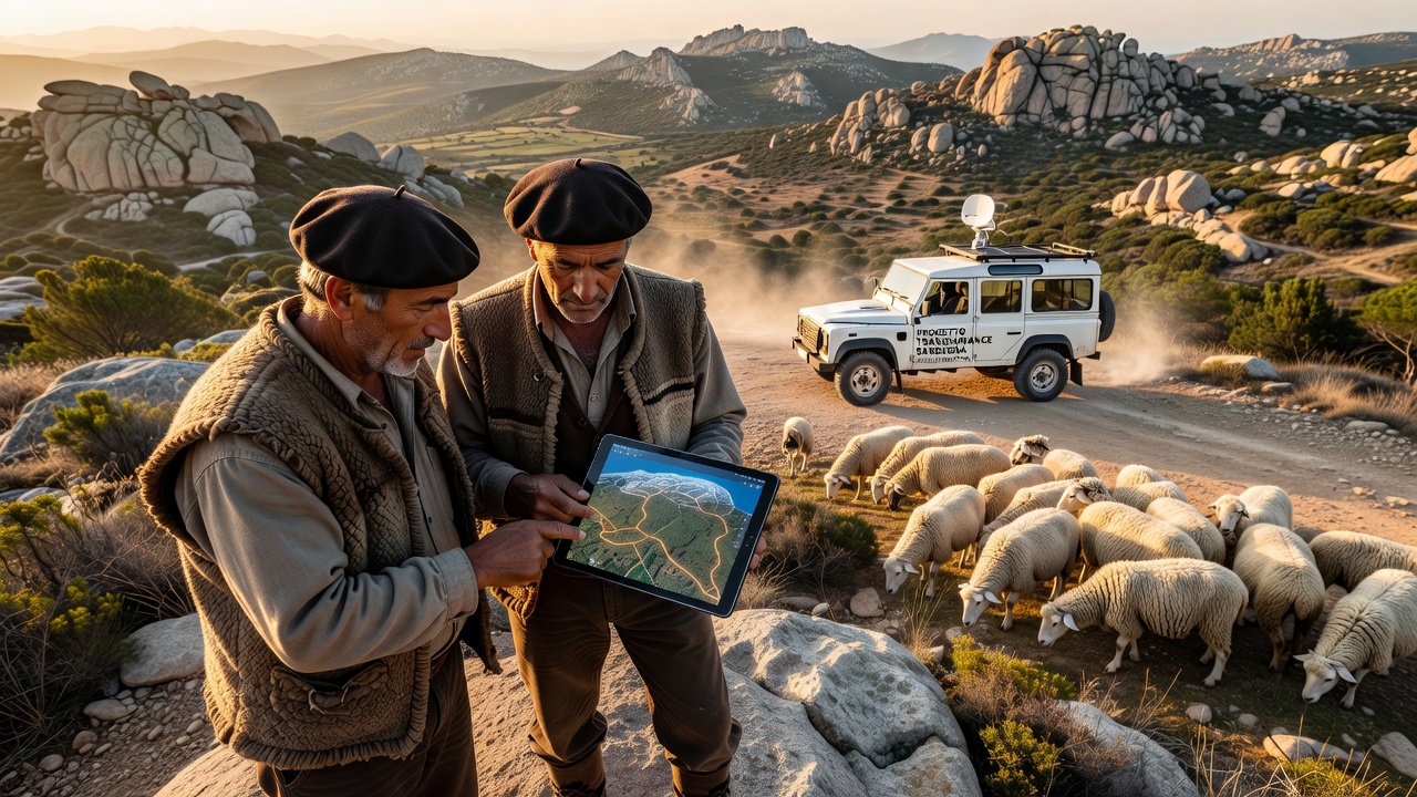
Local cooperatives began integrating satellite mapping in pilot programs launched around 2023 with funding from EU pastoralism initiatives, and teams overlay high-resolution imagery from Copernicus program satellites onto digitized versions of 19th-century transhumance maps to create interactive route guides accessible via mobile devices in the field. This approach identifies obstacles such as new fencing or erosion damage that block older paths, while it also highlights intact sections where shepherds can lead flocks without modern road detours, and data from these mappings show that approximately 180 kilometers of viable corridors have been reactivated across central Sardinia since the projects started.
One initiative coordinated by the Sardinian Agency for Agricultural Development released updated route data in October 2026 that incorporates real-time adjustments for climate-related changes like altered stream flows, and herders report using tablet-based apps to navigate while carrying traditional bells and dogs that maintain the cultural elements of the practice. Studies from the European Environment Agency indicate that restored transhumance reduces pressure on overused summer pastures and supports wildflower diversity along the corridors, with field measurements confirming higher plant species counts in areas where seasonal movement resumed compared to static grazing zones.
Community Implementation and Data Outcomes
Shepherd associations in the Barbagia region collaborated with cartographers to ground-truth satellite findings through on-site walks that verified path widths and slope suitability for livestock, and this combination of remote sensing with local knowledge produced detailed digital atlases distributed to over 200 participating families. Figures from the Italian Ministry of Agriculture reveal that sheep numbers managed under transhumance protocols increased by 12 percent in monitored districts between 2024 and 2026, coinciding with lower veterinary intervention rates linked to animals accessing varied forage types along the routes.
Training sessions held in village halls teach younger herders how to interpret satellite layers for elevation changes and vegetation indices, while older participants contribute details on traditional markers such as stone cairns that align with the mapped lines. Observers note that these hybrid methods preserve the social aspects of group migrations where multiple families travel together, and GPS tracking during the October 2026 autumn descent documented flocks covering an average of 25 kilometers per day on the revived paths without significant straying incidents.
Environmental and Economic Impacts
Restored movement patterns contribute to fire prevention because grazed corridors act as natural breaks in dense shrubland, and satellite monitoring confirms reduced wildfire risk in zones where transhumance resumed according to regional forestry service reports. Economic data collected by local cooperatives show that milk and cheese production from transhumant flocks maintains consistent quality tied to diverse plant intake, supporting sales at regional markets without reliance on supplemental feed during migration periods.
Additional mapping projects now extend to neighboring provinces with plans to connect Sardinian routes to broader Mediterranean transhumance networks documented by the Food and Agriculture Organization, and FAO pastoralism resources provide comparative datasets from similar efforts in other Mediterranean regions. University-led research continues to refine algorithms that predict path usability under varying rainfall scenarios, drawing on historical climate records paired with current satellite observations.
Conclusion
Satellite integration has enabled precise revival of Sardinian transhumance corridors while respecting their historical layout and ecological function, and ongoing data collection through 2026 demonstrates measurable gains in herd health metrics alongside landscape connectivity. These developments build on established practices rather than replace them, allowing communities to sustain livestock traditions amid changing land conditions through technology that complements rather than supplants generational expertise.