Vera Bennett · 6 September 2026
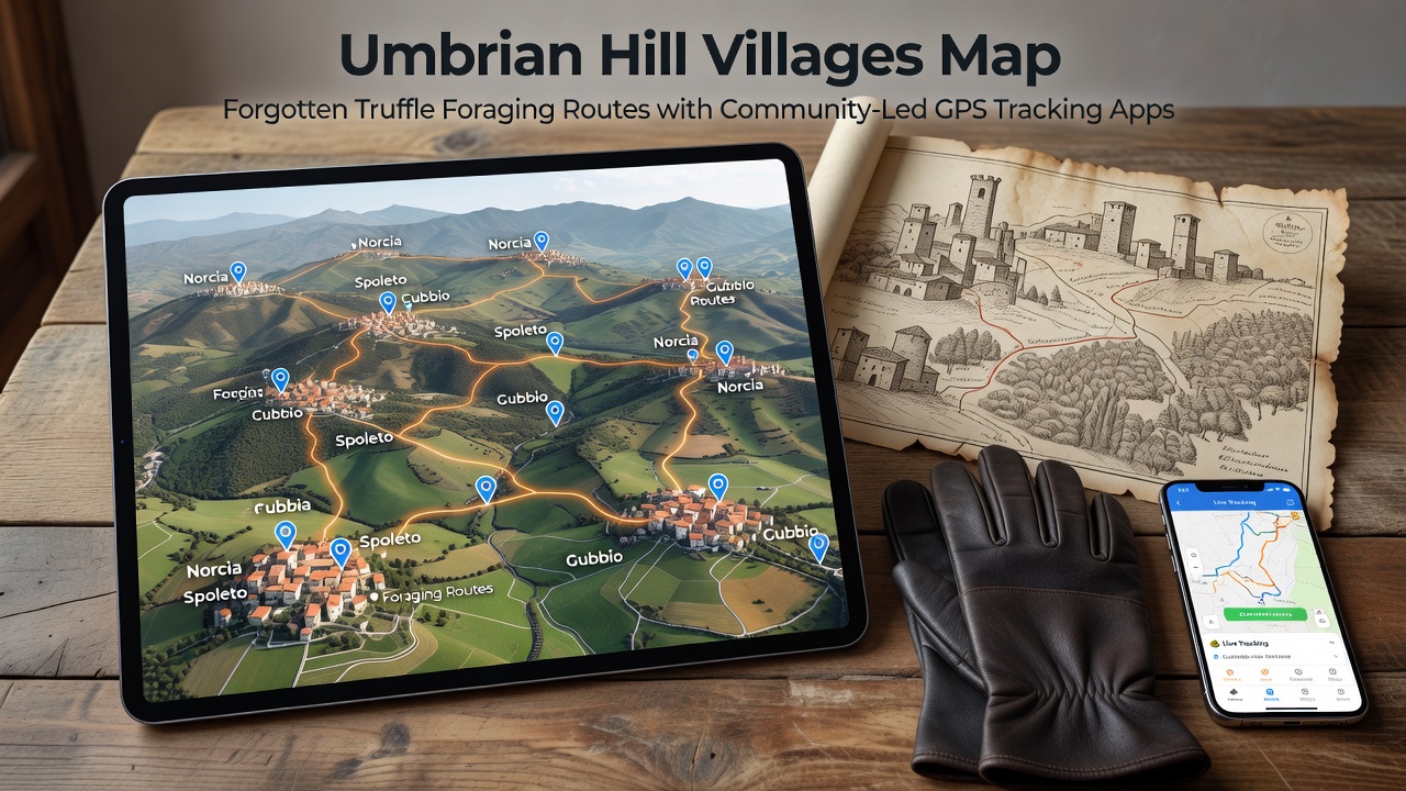
Umbrian Hill Villages Map Forgotten Truffle Foraging Routes with Community-Led GPS Tracking Apps
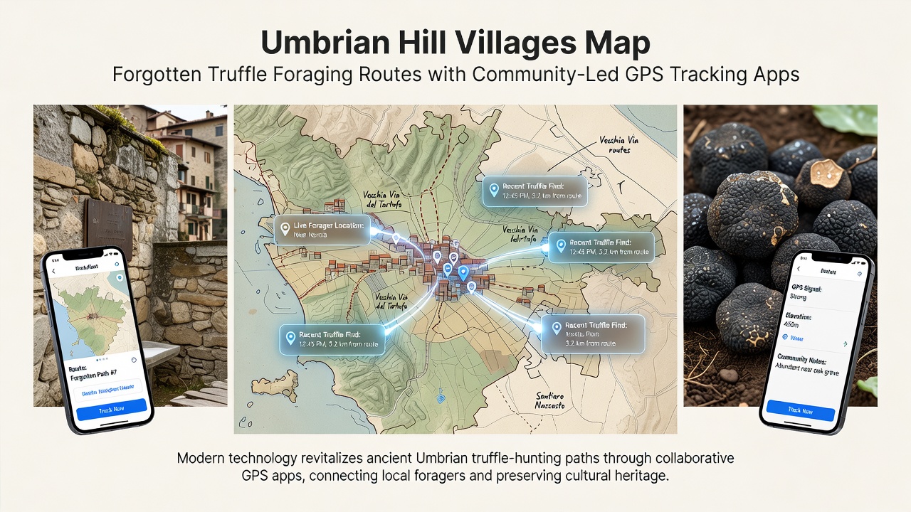
Communities across Umbria have developed digital platforms that allow local foragers to record and share GPS coordinates of longstanding truffle routes once passed down through oral tradition alone. These apps collect location data from participants who traverse the hills around villages such as Norcia, Cascia and Preci, creating layered maps that mark productive zones for both white and black truffles without revealing exact harvest spots to outsiders.
Traditional Knowledge Meets Modern Tools
Truffle foraging in central Italy has relied on generational knowledge of terrain, seasonal rainfall patterns and tree associations, yet many older paths fell into disuse after World War II when younger residents moved to cities. Researchers at the University of Perugia documented a 40 percent decline in documented foraging areas between 1950 and 2010, prompting several village cooperatives to launch community mapping projects in 2023. Participants download a mobile application that records tracks while masking precise coordinates until aggregated data reaches a minimum threshold, protecting commercial interests while preserving collective memory.
How the Apps Function in Practice
Users log in with verified local credentials issued by municipal agricultural offices, then activate GPS tracking during outings. The software logs elevation changes, tree species proximity and soil type notes entered manually at the end of each session. Data uploads occur only after the user confirms accuracy, and algorithms combine multiple overlapping tracks to generate heat maps updated monthly. In September 2026 the network plans to release an offline mode that functions in areas without cellular coverage, addressing connectivity gaps reported by foragers working in remote valleys.
Community Participation and Data Standards
More than 180 registered foragers contribute across six municipalities, with each route requiring confirmation from at least three independent users before inclusion on the public layer. Local associations set access rules that differentiate between residents, researchers and tourism operators, ensuring sensitive zones remain restricted. The system follows data protocols developed by the European Forest Institute, which emphasize anonymization and periodic review by participating communes.
Integration with Regional Conservation Efforts
Mapping activities align with broader land management programs that monitor oak and hazel stands critical for mycorrhizal relationships. Forestry authorities use the anonymized route data to identify erosion risks along frequently traveled paths and schedule targeted maintenance. One cooperative near Spoleto reported a 25 percent reduction in unauthorized vehicle access after publishing trail boundaries derived from the GPS records, illustrating practical outcomes beyond cultural preservation.
Economic and Educational Outcomes
Tourism offices in several hill towns now incorporate verified route segments into guided experiences that teach sustainable harvesting techniques. Licensed guides receive updated maps each season, while schools integrate simplified versions into environmental education modules. Figures released by the Umbria Regional Authority show a modest increase in licensed forager numbers since the apps launched, reversing a decade-long downward trend in new entrants to the activity. Training sessions held quarterly cover both app usage and ecological indicators such as leaf litter depth and animal activity signs.
Challenges and Adjustments
Early versions faced resistance from foragers concerned about data leaks, leading developers to add end-to-end encryption and require two-factor authentication for all accounts. Battery life limitations on older devices prompted the addition of low-power tracking modes that sample location every 30 seconds rather than continuously. Observers note that participation rates remain highest in villages where cooperatives already manage shared equipment and meeting spaces, suggesting social infrastructure influences adoption.
Conclusion
The combination of community-driven GPS tools and traditional knowledge has produced accessible digital records of Umbrian truffle routes that might otherwise have disappeared. Continued refinement of privacy controls and integration with regional planning will determine how widely these methods spread to other foraging traditions across Italy and neighboring countries.